
SERVICE
UAV, survey & geospatial services
Authorised aerial inspection, mapping, GIS and survey-ready data capture for field decisions.
SCOPE OF SERVICE
Defined around the worksite and required operating outcome.
01
Mission definition, site review and operating-risk assessment
02
Facility, construction, pipeline and right-of-way observation
03
Aerial imagery, progress monitoring and defect documentation
04
Photogrammetry, orthomosaic and mapping-data preparation
05
GIS-layer production and survey-ready data coordination
06
Controlled emergency reconnaissance and executive reporting
DELIVERABLES
Evidence the client can inspect and use.
The final document set is confirmed against the approved scope, client standards and acceptance criteria before mobilisation.
Geo-tagged imagery and video
Orthomosaic or mapped outputs where specified
Observation and defect register
GIS files and executive report
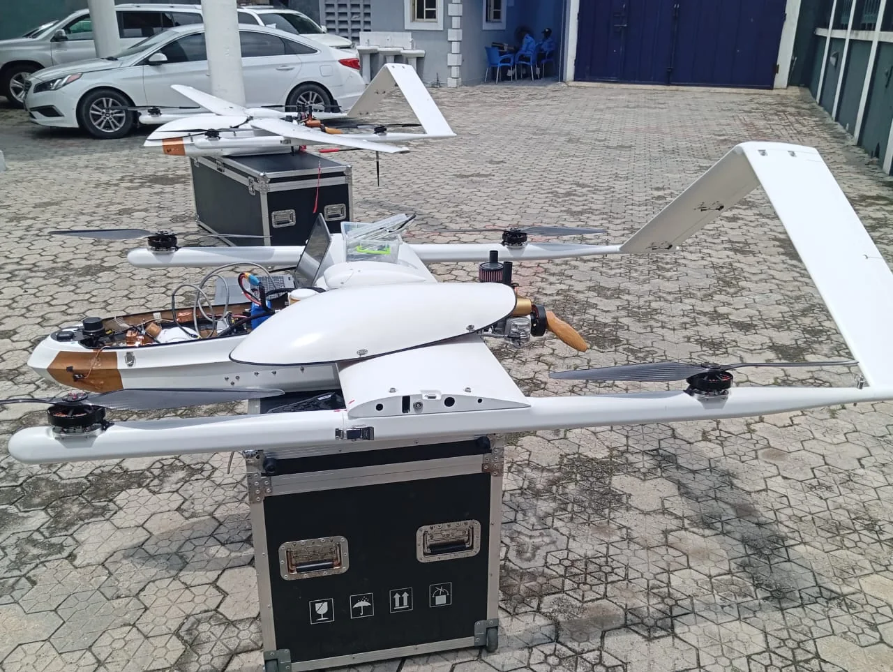
FIELD EQUIPMENT
Mission requirements determine the aircraft, payload and output
Aircraft condition, pilot authorisation, airspace requirements, payload suitability, weather, HSE controls and client acceptance criteria are confirmed before a mission is undertaken.
DELIVERY PROCESS
A controlled path from requirement to handover
Every assignment follows defined gates so scope, risk, quality and evidence remain visible throughout delivery.
01
Define
Confirm the operational need, site conditions, measurable outputs and responsibilities.
02
Design
Prepare scope, method, programme, controls, equipment and specialist requirements.
03
Mobilise
Deploy approved people, verified equipment and the required HSE documentation.
04
Execute
Perform, inspect, test and report against the approved scope and acceptance criteria.
05
Handover
Deliver records, results, as-built evidence, training and warranty obligations.
Planning a uav, survey & geospatial services scope?
Send the location, operating requirement, expected deliverables and target date for review.